
Interesting Street Views
Walking in Toronto is a lot different than back home, where we have so many trail systems to explore all within a short distance from home. Here in Toronto, most of our walking is exploring the streets in the area. Some days we simply set out and zig-zag through neighbourhood streets enjoying the different settings and the interesting sights we find.
This is not to say Toronto does not have some excellent parks and walking trails, but most are not within easy walking distance and many actually make you pay to park in order to enjoy the trails. In fact, I recall 50 years ago visiting Toronto and being impressed that a short walk from my hotel, I could walk down into a forested ravine and the large city completely disappeared. That same unique park system remains today and is not far from the condo. It is called the Don Valley Parklands and follows the Don River from Lake Ontario all the way up past the highway 401. This system of parklands contains miles and miles of trails and during previous visits to the city we explored some of them. The Evergreen Brickworks discussed in an earlier post is on this parkland. On one of our walks this trip, I thought I’d go explore some more of this trail system.

Unfortunately it did not work out to be so easy. We walked over towards where we knew the parklands were and from an overpass we could see the trail, running down between the river, the train tracks and the Don Valley Parkway Highway. The difficulty on our first attempt was finding a way down onto the trail. With a railway on one side and the river on the other, we had to find an access point. After trying various streets that crossed the river, we got tantalizing views of the trail and people happily walking down there, but no way to actually get to it. After our walk reached our usual 5 - 6 km limit, we gave up and went home to research on Google Maps how to actually get onto the trail.
 |
| A Farm in the City |
On our next attempt we decided to explore both the Riverdale Farm and take a pathway shown on the map leading down to the trail. The farm was interesting with chickens, pigs, cows, horses and goats happily living on a farm here in the middle of the city, but the trail was closed down to the trail and we got distracted by discovering that Toronto has a Necropolis like we saw in Glasgow Scotland, so it also needed to be explored.
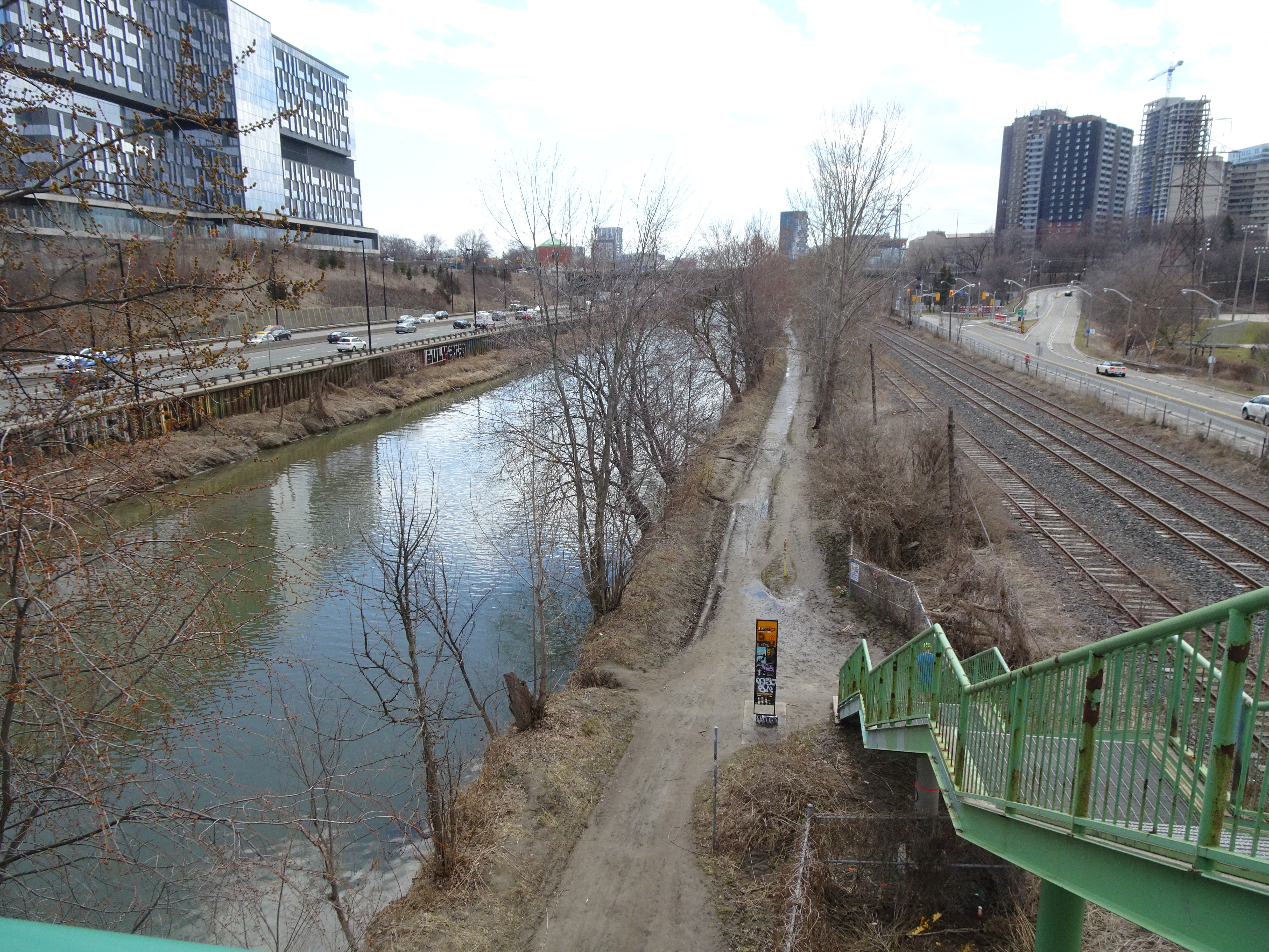 |
| Finally finding the Trail |
Today with the sun shining and temperatures getting up to a reasonable number we set out to finish the trail down towards the Toronto waterfront where we turned back home. There is however still more to explore, but at least we now know how to get onto the trail, and will see on another outing what the waterfront section has in store.
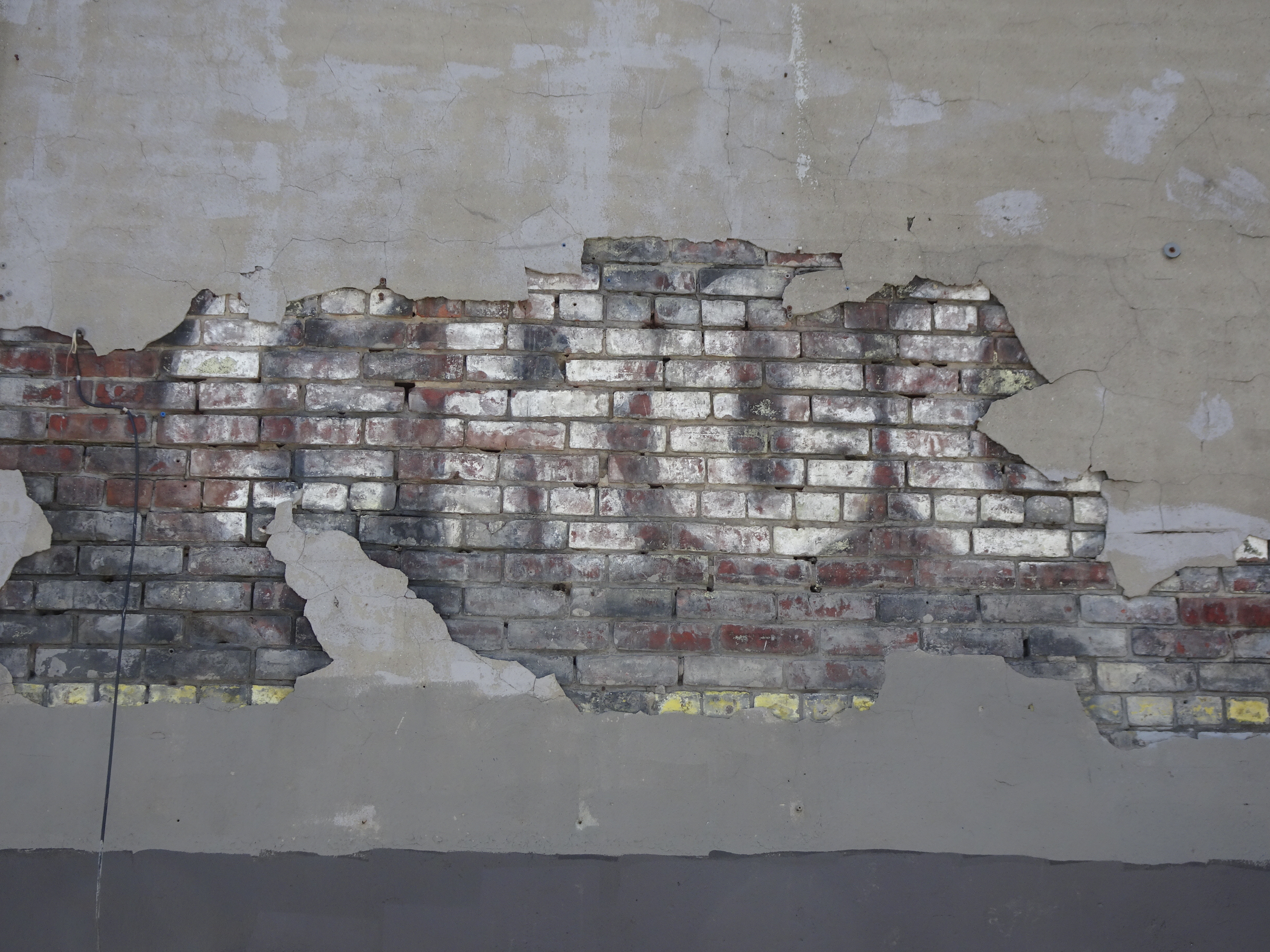
I wonder what this sign used to advertise 
Interesting Art Installation 
Toronto's Necropolis 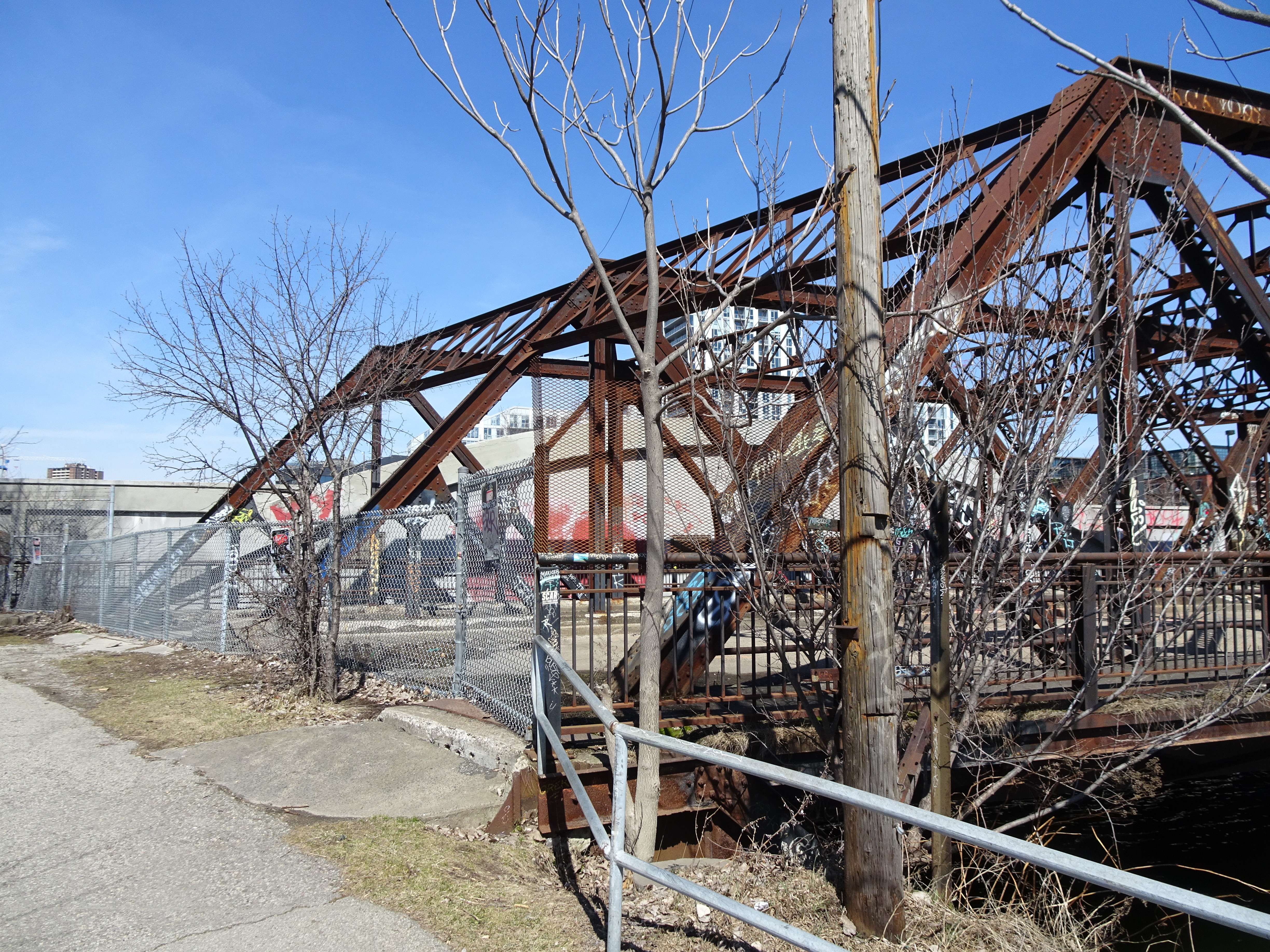
A bridge to Nowhere 
Street Art on the Trail 
A very cool fence on our walk
Cool. Sounds like not finding the entrance right away was lucky after all.
ReplyDelete